Sunday, May 6, 2018

Yosemite or Butterfly Festival in Mariposa?

At Mariposa Fairgrounds, Mariposa CA

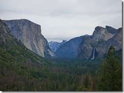
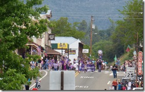
Yosemite from Tunnel View, El Capitan, Half Dome, Bridalveil Fall    Butterfly Parade, Butterfly Festival at Mariposa

So, we had our choice of “events” today….drive the 95 mile round trip to Yosemite and back, —OR— stay in Mariposa for the Mariposa Butterfly Festival, and if you ‘also’ did not know as I did not know, Mariposa means Butterfly in Spanish.  Well, we forwent the first day of the two day festival, and went on to Yosemite.  The 95 mile round trip included stops at Bridalveil Fall, Glacier Point, Yosemite’s east side of the valley, and back to Mariposa.  We left at 10, got back at 5:30, and took over 175 pictures…of which you have now committed to see each and every one of them!  Ok, I will try and shorten it up to around a dozen…maybe two dozen.

Rafters in Merced River along Highway 140     First Waterfall of the day in far distance on Highway 140

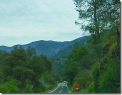
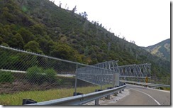
Marcia had never been through the main gate, which is on Highway 140.  In April of 2006, (YES, 12 YEARS AGO) the Ferguson Landslide closed Highway 140 for four months until two temporary bridges could be built to divert traffic to the other side of the river onto a one-way road, with no vehicles over 25 feet.  Eventually larger bridges were constructed, so now motorhomes up to 45 feet can cross, but no buses.  Traffic is controlled by stop lights, we experienced about a 5 minute delay both ways.

 Ferguson Landslide on Hwy 140    Temporary Bridge over Highway 140

Work is said to be on-going to open the original road with a “Rock Shed” to protect the road from futures slides….that work is suppose to be done in 2020…my guess, it will be much longer than that.
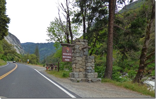
Yosemite Sign

Finally entered the park…I have not been this way for a long, long time, but in my youth, this was “the way” to come into the park from Sacramento.
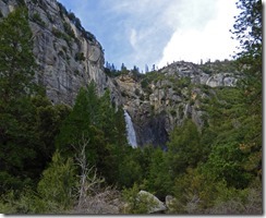
Waterfall, not sure if it is in our out of Yosemite     Cascade Falls, Yosemite

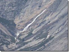
And then Marcia starts taking photos of every waterfall she sees.  Don’t know the name of the one on the left, it is on the south side of the Merced River…but the one on the right is Cascade Falls taken from the parking lot.
Bridalveil Fall, Yosemite
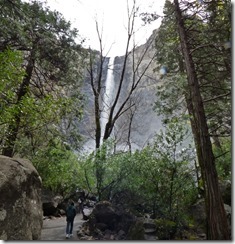
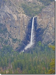
Our first stop was at Bridalveil Fall for a bladder break, and I took a short walk to get a picture of the fall.  Of course, I KNEW this fall would be better captured from the Tunnel View of Yosemite Valley…Bridalveil Fall, Tunnel View, Yosemiteand the mist was very heavy today with the amount of water coming over the fall.  The picture to the right is from the Tunnel View, and it does show the waterfall in its fullest.  Tunnel View is where everyone seems to stop to get that iconic picture of Bridalveil, El Silver Strand Waterfalls, Tunnel View, YosemiteCapitan and in the far distance, Half Dome.  That picture is the first picture of this blog today…click on it and you can see a much larger picture of this great view.  Also from Tunnel View you can see Silver Strand Falls to the south.  Later in the year this will turn into a trickle, and then stop by mid-June.  Bridalveil, on the other hand, runs all year round, although the amount of water coming over the edge will diminish during the summer and early fall.  Now, just to be clear, there are Waterfalls and a Waterfall.  The latter descends over a cliff and lands into a pool, while a waterfalls is one which cascades down a mountain.  Bridalveil is a waterfall…Silver Strand is a waterfalls.
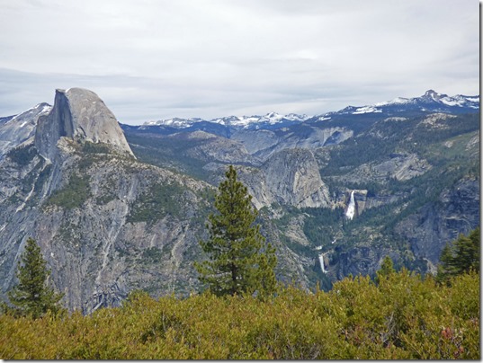
Half Dome, Vernall Fall, Nevada Fall, from Glacier Point, Yosemite

Next we traveled up to Glacier Point, where you can get a picture of Half Dome, and Vernal Fall and Nevada Fall…Nevada Fall is above Vernal Fall.  My youngest son hiked up Half Dome with his Uncle when we was around 12 years old.  What an adventure, which took all day, and nearly into the night…getting back just after dusk.

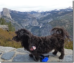
Skruffy 2012, Yosemite     Skruffy 2018, Yosemite

To the left is Skruffy on the wall back in 2012…to the right is Skruffy up on the same wall, just a little different spot on the wall, today.  Of course, today’s camera is way better than the one we had in 2012…

Illilouette Falls from Glacier Point area, Yosemite     Pywiack Cascade from Glacier Point, Yosemite

Yosemite Falls from Glacier Point, Yosemite

There are at least three more waterfalls you can easily see from the Glacier Point Area.  Upper left picture is the top portion of Illilouette Falls, which is located to the far right of Nevada and Vernal falls.  Upper right picture is of Pywiack Cascade in the Tenya Canyon, just to the left and beyond Half Dome, and the bottom picture is the majestic Yosemite Falls, which is really three waterfalls….the upper fall, the middle falls, and the lower fall.  The middle falls is more of a cascade, and cannot be seen very well from Glacier Point.

Ribbon fall with El Capitan, Yosemite

Back down in the valley we get to see Ribbon Fall and El Capitan, right from our ADA parking space.  Although Yosemite was crowded today, we found ADA parking places everyone except at Tunnel View.  A car, which was right in front of us, pulled into the only ADA space available…and NO, there was no ADA placard or license plate…but there was a young man who had Cerebral Palsy get out, along with at least one senior citizen who looked like they could not walk very well…so we did not say anything, and we found a parking place just across the street just fine…one which had a better view for Marcia who did not even have to get out of the car!

Yosemite Falls, Yosemite

And another, different view of Yosemite Falls, mainly just the upper fall…what a beautiful waterfall that upper fall is.

Bridalveil Fall, Yosemite

And one last shot of Bridalveil Fall as we start to head out of the park for the day.  This is the third time Marcia has been to Yosemite, it was probably somewhere between 20 and 30 times for me.  I have camped in the park, hiked in the park, slept in a cabin in late November for two nights back in the ‘80’s, and have driven through much like we did today many times.  Definitely one of my favorite National Parks…let alone, favorite place to visit.  All in twenty pictures plus one thrown in from 2012 of Skruffy!  Now what to do with the other 150+ pictures????

Friday, May 4, 2018

Santa Cruz Beach Boardwalk – More Pics of Daybreak Camp

At Daybreak Camp, Felton, Ca

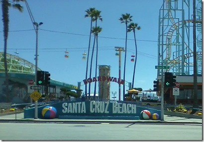
 Boardwalk, Santa Cruz, CA

Today was a nostalgic day … going back to places of my youth.  Just about every summer I came to Santa Cruz for a week or two from when I was a baby, through my 19th birthday, and then intermittently after that.  It was a church camp, similar to the Daybreak Camp my cousin and his wife operate, which brought me here…today I was going to show Marcia some of this area.  So we get in the car, drive about a dozen miles, and Marcia says, “Where is the camera?”   Oops!!!  I forget both cameras!  So today’s pics are by our flip phones…so the quality will be poor, but it is what it is.

Big Dipper at Boardwalk, Santa Cruz, CA

We did not walk the boardwalk…but we did drive it.  This is the Big Dipper, one of the last of the good old wooden rollercoasters.  Been on this thing many, many times.  The summer of 1974 I spent 10 weeks volunteering at the camp, and had a car, and probably went down to the boardwalk a couple of times each week.  On one of these occasions, with some friends and relatives, we got a “ride all the rides you want” wrist band, and we were standing in the long line to ride the coaster for probably the third time that night.  Two young boys slipped in front of us.  We allowed them to stay under the condition that they kept their hands in the air the entire ride…which is something we all did because it was more fun that way.  Although they agreed….they didn’t make it up the first hill, let alone the bottom of that hill.  I was right behind them, telling them to raise their hands.  One boy started to…got about half way up, then right back to the bar again they went.  Of course, at the end of the ride they ‘tried’ to say they kept them up the entire ride…

Beach at Boardwalk, Santa Cruz, CA

Been on this beach by the boardwalk many a times too…although our favorite beach was Seacliff State Beach further to the south.  Give it another 4 weeks, and this beach this time of day will be packed.  Today, hardly a soul.

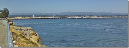
Looking South at Boardwalk, Santa Cruz, CA

We headed north along the coast on West Cliff Road, and got this shot looking back to the boardwalk.  The calm before the storm…soon there really will be thousands of people along this area…

Ocean Tree, Santa Cruz, CA

We just love the trees along the coast…wind swept…sometimes alone…

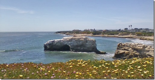
Natural Bridges State Park, Santa Cruz, CA

Continued to Natural Bridges State Park, where they have a free 20 minute parking area.  Been out along the waterline here too, and that rock really has a hole in it, hence the name, Natural Bridge.  We continued up along the coast on highway 1 another 8 miles, turned on Bonny Doon Road, which turned into Pine Flat Road at the community of Bonny Doon, and then onto Ice Cream Grade road for 3 miles of very narrow, very tree shaded, very quiet country road.  Another 4 miles on the Felton-Empire Road, and soon we were back to Daybreak Camp.  Took us about 3 hours in total, dogs went with us, cameras stayed at home…sorry about that.

More about the Daybreak Camp

Daybreak Camp -- Aerial Photo

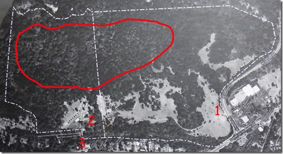
Above is a picture I took of an aerial picture cousin Rich has in his office.  The white markers are the boundaries, the white line down the middle show the original property to the left, and the newly acquired property they bought about 8 years ago to the right.  The RED is what I added.  The number 1 is the horse pasture we entered through locked gates, number 2 is about where we have the motorhome, and number 3 is the old, decrepit bridge.  The big circle is the area where most of the Redwood Trees, especially the old growth trees, are located on the property, although young trees are scattered here and there throughout.

Daybreak Camp -- Directors Housing

Rich and Marci live in this house, which includes an office and a garage under the living area.  There is a upper entrance to the left from higher ground, so one does not have to climb steps to get into the residence.

Daybreak Camp --  Inside Cabin     Daybreak Camp --  Inside Cabin

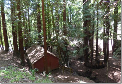
Daybreak Camp --  Cabin among the Redwoods

I showed a picture of a cabin two blogs ago…that was an adult cabin, and the inside is the upper left picture above.  The “kids” cabins are nestled along the Redwoods, and they are long and narrow.  Upper right is the inside of one, bottom picture is an outside picture of one…they are all pretty much alike in size and shape.

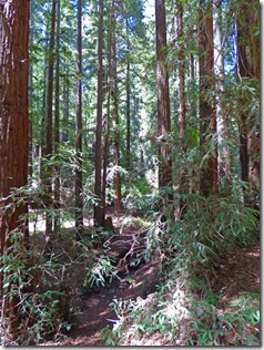
Daybreak Camp -- Mighty Redwoods        Daybreak Camp -- Mighty Redwoods
Daybreak Camp Trail

The Redwoods are just so wonderful and peaceful.  There are trails, and Rich took me on what they call the “Prayer Trail” in a Kawasaki Mule…yea, would have never made it walking.

Daybreak Camp -- A Stop along the Prayer Trail

Dispersed along the trail are benches, with names of the people they are dedicated to…along with a cross.  Gives one time to stop, meditate, pray, and move on to the next bench…which is a welcome sight since the trail is a bit steep in places.

Daybreak Camp looking down to swimming pool

He stopped the “mule” along the trail leading up where I got this picture of the swimming pool, and if you look beyond the pool and a wee-bit to the right, you can see our motorhome in the far distance.

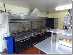
Daybreak Camp Kitchen    Daybreak Camp Kitchen

Of course, any good camp has to have a good kitchen.  Cooking for upwards of 250-290 people for some of these camps is a huge ordeal.  And here is the catch…all the staff working the camps are volunteers, including the kitchen staff.  Outside of the four camps that Daybreak sponsors themselves, all the other campers have to furnish their own volunteers, including the kitchen staff, all of whom have to certified by a health department as fit to work around food.  I asked Rich how he keeps the kitchen so clean with so many different folks passing through.  He says that he tells them that the previous camp (he names them by name) cleaned up the kitchen for them, and they need to leave it clean for the next camp (he names them by name) who will be told that YOUR CAMP (naming them by name) left it this way for them.  It seems to work!

Tomorrow we head out for Mariposa…frankly, I could stay here a number of weeks, it is so quiet…except for that bridge every time a vehicle passes over it.  

Note:  When they get the bridge fixed, they will have to move the RV area out to just into the new property...they plan to have full hookups, which will be nice for those who bring an RV to one of the many camps which are held here.